Alisa Gevorgyan
“Radiolur”
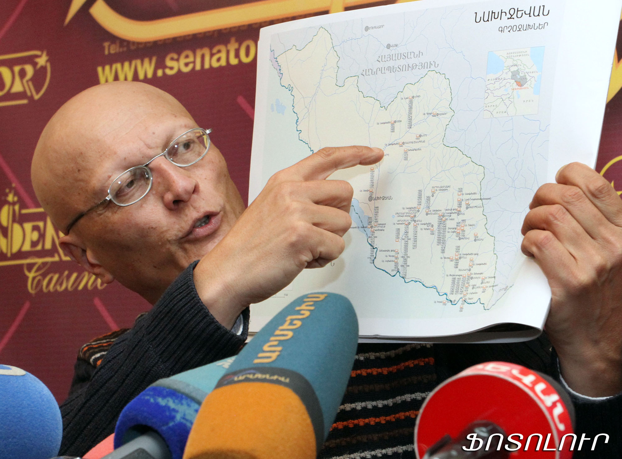
The Research on Armenian Architecture Fund has published the “Nakhijevan” atlas with the support of the Armenian Ministry of Culture and Mr. and Mrs. Arthur and Lily Seredian from Los Ageles. Head of the foundation Samvel Karapetyan presented the atlas to journalists today.
The bilingual (Armenian and English) publication includes the maps of Nakhijevan drawn mostly by foreign authors to ensure utmost impartiality and reliability.
The settlements belonging to this or that nation are highlighted in different colors on the map depicting the data of the 1914 census. Most of them are red-painted Armenian settlements, which, however, do not exist on modern maps. The last red point disappeared after the deportation of 1988-89.
The map of educational establishments of Nakhijevan in pre-revolutionary or tsarist period also deserves special attention. The symbols of Armenian monastic and parochial schools are dominating here, as well. The three points indicating the Muslim schools are nearly invisible in the diversity of Armenian educational establishments.
The atlas includes a number of maps devoted to historical-cultural monuments of Armenia. The last few pages of the publication present clear information on the contemporary cultural genocide.
The Soviet authorities kept no count of the Armenian cultural legacy of Nakhijevan because of the intentional and artificial obstacles created by the Azerbaijani leadership.
There were 218 Christian worship sites, 41 fortresses, 26 bridges, 4 500 cross-stones (khachkars) and 23 thousand gravestones in the Autonomous Republic of Nakhijevan before the 11th century, although the information is not complete.
Between 1998 and 2006 the Azerbaijani authorities deliberately destroyed the 3,000 cross-stones and 5,000 gravestones of Jugha dating back to the 5-17th centuries. Hundreds of Armenian monasteries and churches were razed to ground in Nakhijevan.


